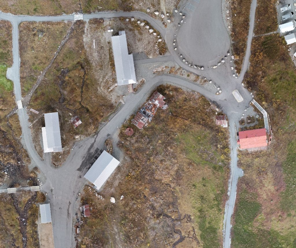
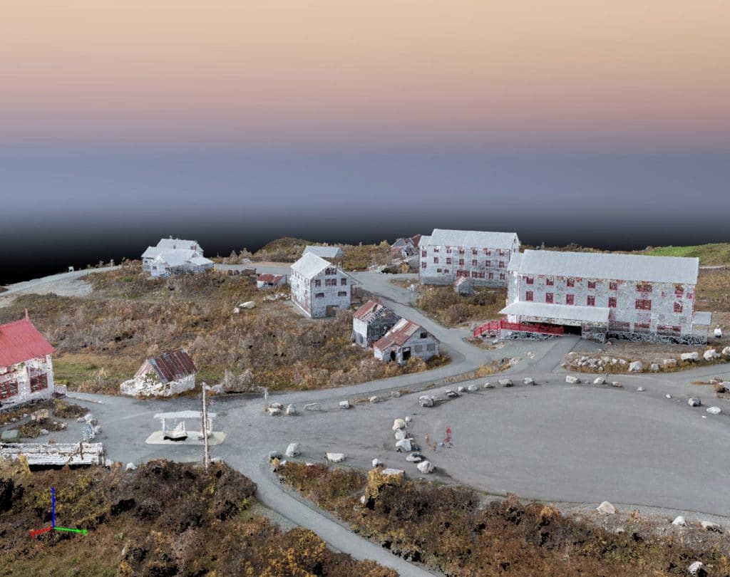
These images were taken using a Phantom 4 Pro Drone. The drone is constructed of titanium and magnesium alloys increasing the strength of its frame and reducing its weight which in turn gives the Phantom 4 Pro a longer flight time of up to approximately 30 minutes. The Phantom 4 Pro has a camera with a 1-inch 20-megapixel CMOS (Complementary Metal Oxide Semiconductor) sensor which is capable of shooting 4K video at 60 frames per second and burst mode stills at 14 frames per second. A custom engineered lens made up of eight elements is arranged in seven groups and it is the first DJI camera to use a mechanical shutter, eliminating rolling shutter distortion which can occur when taking images of fast-moving subjects or when flying at high speed.
LCG Lantech can utilize all the aspects of this drone for Architectural, Engineering and Surveying needs. Along with the Phantom 4 Pro, LCG Lantech will be using the 3D mapping software (Drone Deploy) to create an orthomosaic photo. An orthomosaic photo is a combination of many photos put together and vertically corrected in order to build a vertical photograph. LCG Lantech will go through the steps to process this data and can provide products such as:
- Property Maps (control surveys, boundary surveys, topographic/Design surveys, Right-of-Way surveys, and Aerial Mapping Control)
- Monitoring the progress of Construction Projects
- Earthworks
- Volumetrics
- Bare Earth Modeling
- Crop damage analysis
- Area Calculations
LCG Lantech will always fly with Airspace Authorization from the FAA. In certain situations, LCG Lantech can apply for a waiver if the flight pattern will interfere with the Federal Code of Regulations, Part 107 rules. LCG Lantech’s Phantom 4 Pro is registered and operated by a Licensed sUAS (Small Unmanned Aircraft System) pilot. We will fly whenever and wherever across our beautiful state, weather permitting.


